Wednesday, March 26, 2014

Pilot Wine Loop


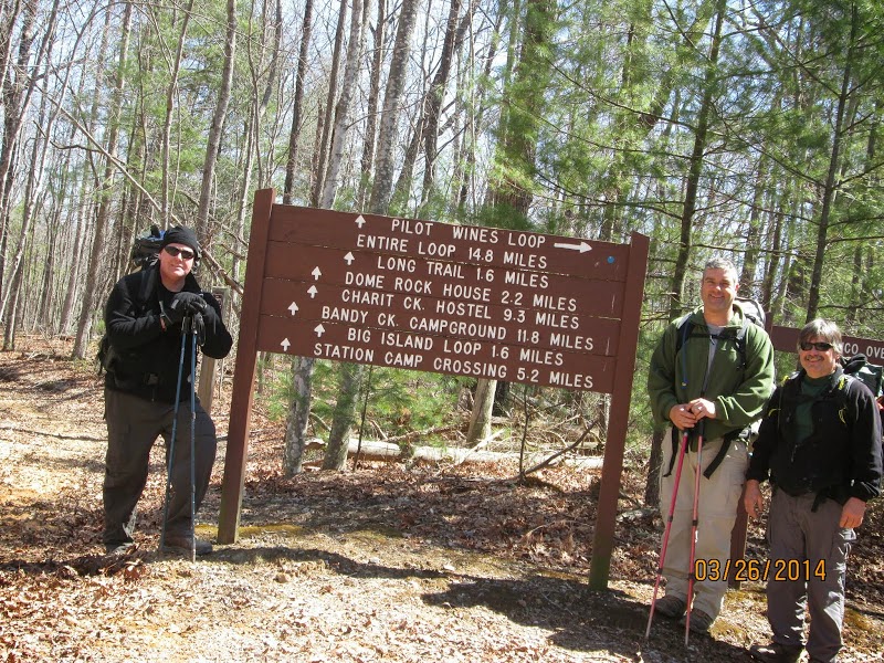
Pilot Wine Loop: 14.8 miles                                              Outcasts Total Miles: 1659.68

We had us a weather full hike this time.  We headed to Big South Fork in the snow.  We started at the Station Camp East trailhead and did the loop counter clockwise.  This is a horse trail following an old roadbed all the way around.

Pilot Rock is actually just off the trail and you have to some bush whacking to get to it.  After you drop down through some very pretty rock walls and go around them there is a small campsite.  From that campsite if you continue straight out when the trails turns right and down you will find Pilot Rock.

We continued down to the river and camped along side the Puncheoncamp Fork of Williams Creek right at the confluence of Grassy Fork.

While we were hiking we had about five different white outs with sunshine in between.  When we got to camp, the snow was so big of flakes that you could feel them hit you.  We got about an inch on the ground before it stopped and we gathered fire wood during this time.  When it stopped, we set up camp and within a half hour the sun had melted it all away.  This is Tennessee.

Just before we got to camp we saw a flock of turkeys.  We had ducks on the creek and listened to an owl while we were setting up camp.

We enjoyed an evening around the fire telling lies and taking cough medicine.  It got down around 15 degrees that night.

The next morning we headed out and finished the loop with plenty of sunshine.  We saw a ground hog on the way out of the park cross the road in front of us.


                                                 Eye will see you next season!
Pictures:

Friday, March 14, 2014

Laurel / Snow Falls - Cumberland Trail


Day One: 9 miles                                               Outcasts Total Miles: 1644.88
Day Two: 4.9 miles

Total Miles: 13.9

Marco and I headed over to the the Laurel / Snow falls segment of the Cumberland Trail.  We hiked up Richland Creek and over the 50 foot bridge.  Then we headed towards Snow Falls which is a good climb after the 150 foot bridge.  We got some pics from the powerline overlook then did the ford of Morgan Creek.  Checked out Snow falls and then went back to the dirt road and hiked out to the Buzzard Point Overlook.  The dirt road does not have trail markers.  From the overlook we headed back down to the Henderson Creek Campsite for the night.

We saw our first two day hikers while we were setting up camp and they were coming back by while we were collecting firewood.  It was calling for 35 for a low, but we ended up with 24.  We stayed warm around the campfire enjoying the full moon and stars.

The next morning we hiked up to Laurel Creek Falls and then continued the climb which does get steep going up the bluff, to Laurel Creek Campsite.  We forded Laurel Creek and hiked out to the Overlooks. From Bryan Overlook there is a unnamed trail heading to two more overlooks past the four wheeler turnaround.  After that we headed back to the car.

Another great hike on the Cumberland trail.

Pictures: